Choose...
HOME PAGE
Mobile
Page
Quick Briefing
NATIONAL
WX
TROPICAL
DROUGHT WX
Technical
Page
CONTACT
FORECAST:
NWS for Rke City
NWS
- S
Rke-elev'd)
NWS
- Cave Spring
NWS
-
Bent Mt
NWS
- Catawba
NWS
-
Bot. Co
NWS
-
Salem
NWS
text
Bot Co
NWS
text
ROA
Meteostar LR
Earl's
Severe Wx
Clear
Sky Chart
CONDITIONS:
priv.
stn.
graph
NWS past weather
Stn.
LED displ.
priv.
stn. detail
Metar-TAF Stn metar
Map
stn. key
surf.
temp
area
10m temp/wind
HIGH
Country:
Boone area
Banner Elk
Nat'l
Snowfall Anal.
Nat'l Snowfall
Anal.2
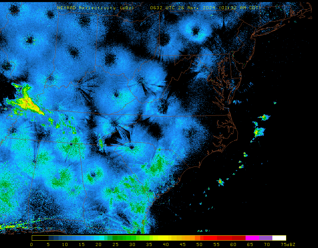
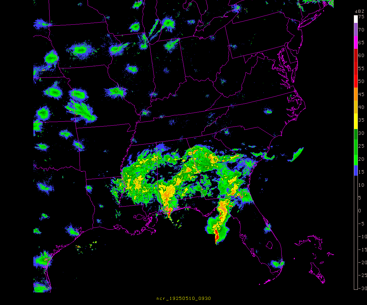
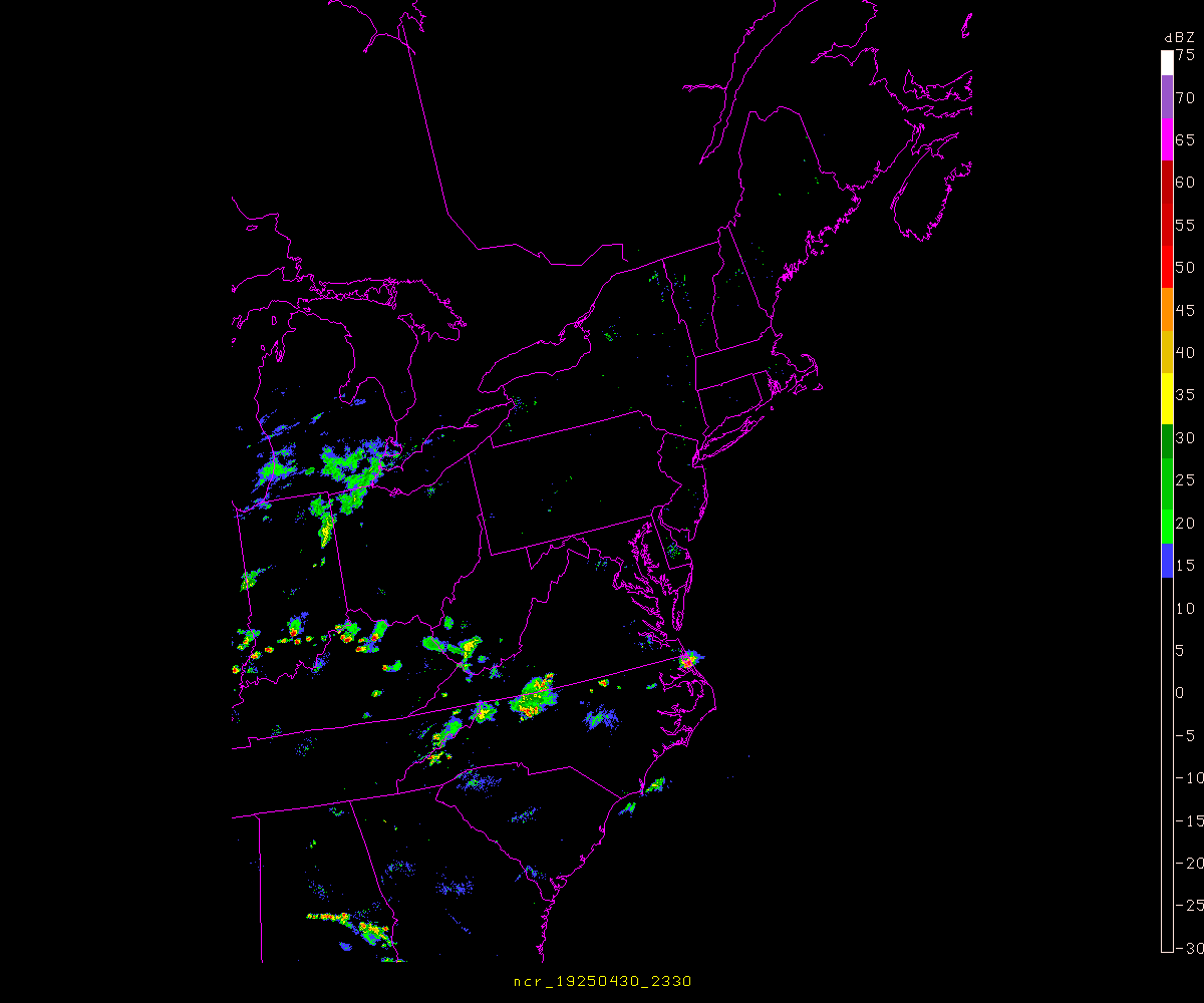
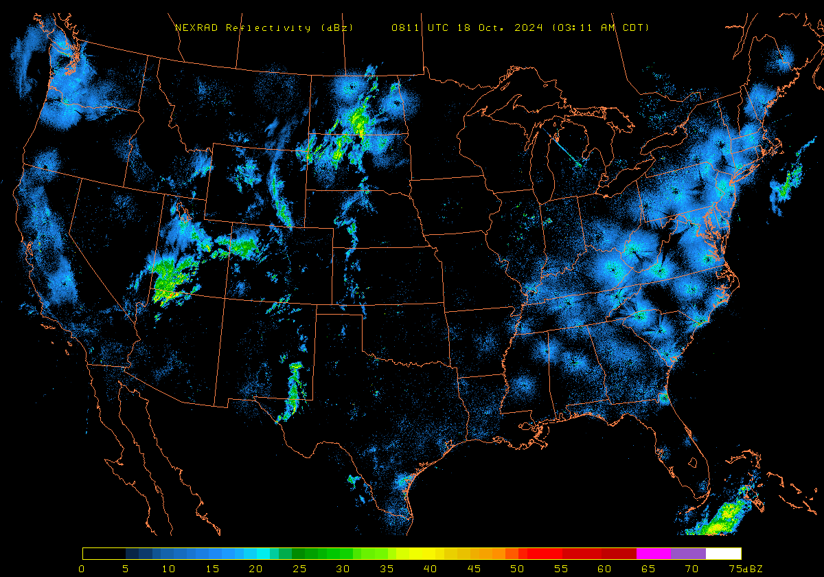
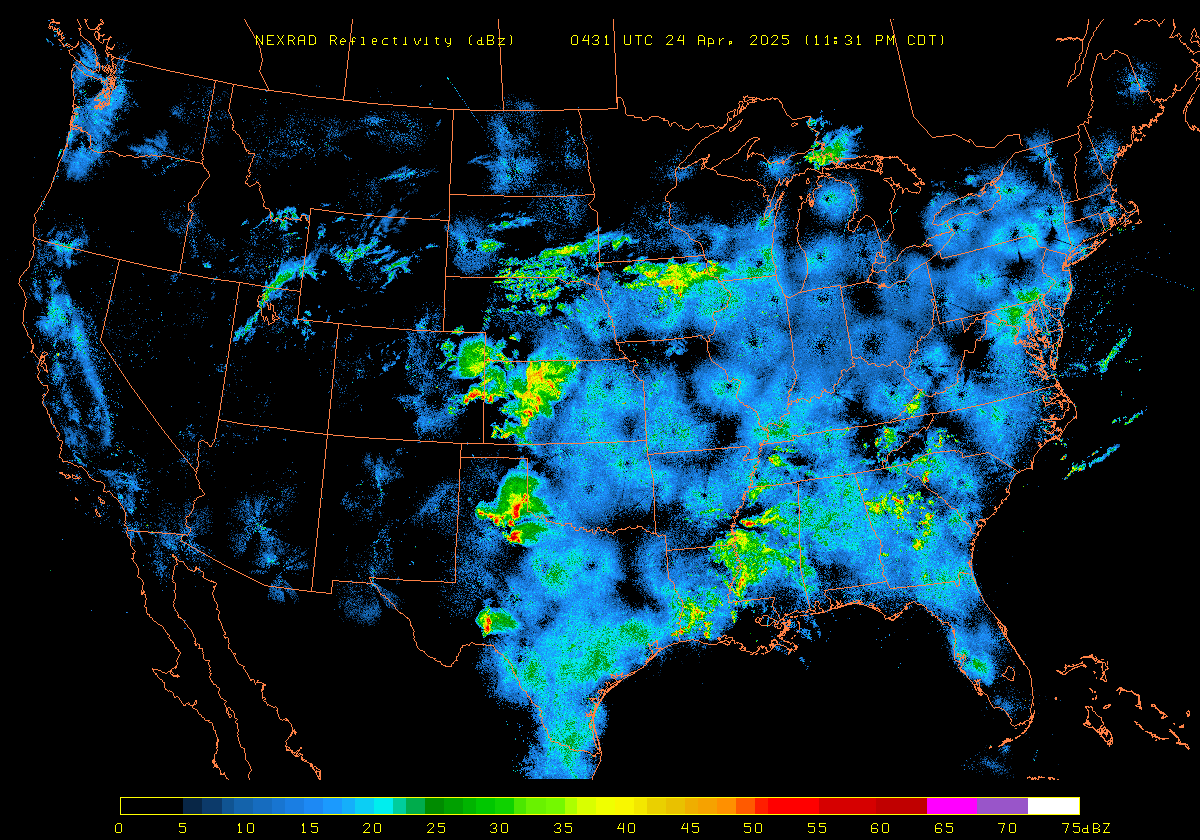
RADAR:
loc. 2
3
4
5 6
Virginia
reg'l 2
3 4
reg'l
- Quicktime
KY-TN
Southeast
2
3
Northeast
SE
w/plots-motion
NE
loop NE SE loop
NE
loop (long) SE
Earls' TWDR p.
nat'l
2 3
nat'l
loop
Puerto Rico
SATELLITE:
visible 2
3 4 5 6 7*
visible motion
US
- Motion 2
SE
-
BIG SITE
US
-
Zoomable
IR
2
3
4
IR motion
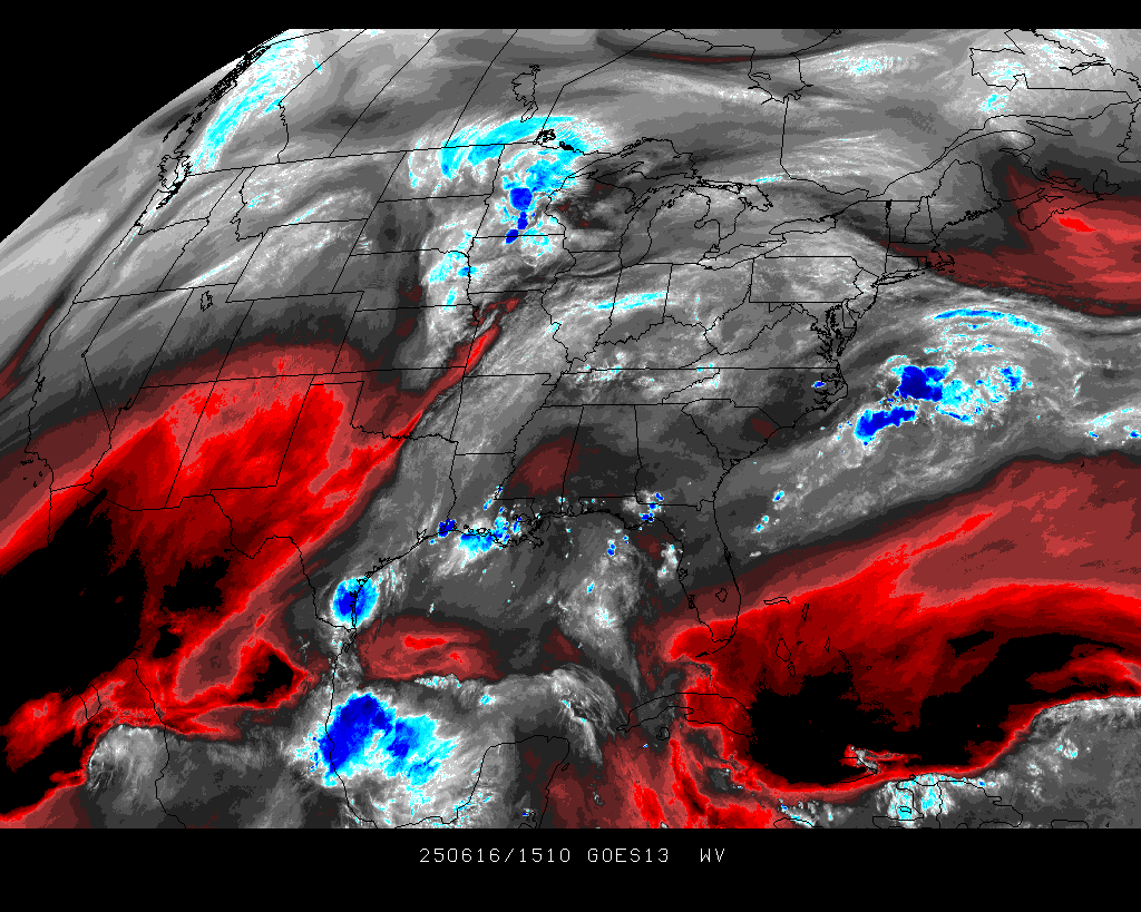
water
vapor
water vapor loop
WX
MAPS:
Digital
Atmosphere...
(generated at
this site)
custom
maps:
LOCAL
Mid-Atlantic
National
East
Floater
New
Engl.
N
Atl.
Ocean
Tropics
Alaska/Yukon
Surf.
map page
...DA
explanat'n
...plot
expl.
...stn
key - area
...stn
key - region
...stn
ID - area
...stn
ID - region
net
maps:
Alt.
Private site
Temp
profile
Internet plot
1
Internet plot 2
Plot 3 - US
Internet
plot 3
Huge
US map
Meso
maps:
Wunderground ***
MesoWest
#2
LIGHTNING:
U.S. - w/ZOOM
N
Central NC
Large -zoom in
Power outages
SEVERE
Hazards
Convective
SPC
OUTLOOK
NWS site
VA INFO:
CLIMATE
INFO:
clim. summary
Wx
Stn
Clim 2
3
climate
graph
NOAA
graphs
WEBCAMS:
Sadly Wunderground
cams are gone.
A HUGE loss
City
from Star
Downtown
Roa. Co./Cave Sprgs
Salem
WSLS
10 cams
WSLS
10 airport
WDBJ
7 cams
-WDBJ 7 towercam
ALL LOCALS
AREA CAMS:
Abingdon
Galax 2 3 4
Grundy
Hardy
Wytheville
Abingdon
Independence
Luray
Wintergreen
Mt
NC Mtns
Beech
Mt. view
Beech Mt. top
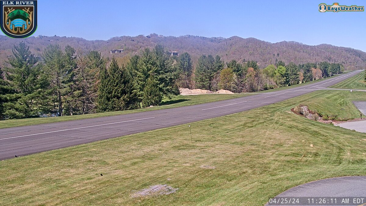
Elk
River Airport (at Beech)
Mt. Jefferson NC
Blowing
Rock 2
VA-hiway
cams
US sites
ADD
YOURS!
RAIN
DATA:
Roanoke
Botetourt
Virginia
Tables
for region
SNOW
DATA:
Depth
US
Canada/US
NOAA
page
Interactive
Interactive
2
N
Hemisph graph
Rutgers
snow lab
Finnish
Global
AREA
BLOGS
Sean Sublette
Kevin Myatt
Area
Wx Sites:
Christiansburg
Martinsville
Willis
(Floyd Co)
Wytheville
TRAVEL:
road
conditions
airport
delays #2
pilot
info #2
#3
aviation-icing
aviation-turb.
av.flight
rules
upper
winds
ATL
airport technical
airport conditions
sea
wave
hts 2
FIRE
WX:
Fire
Wx-Indices
Fire
danger
Day
1 Day
2
EARTHQUAKE:
Earthquake
rprts
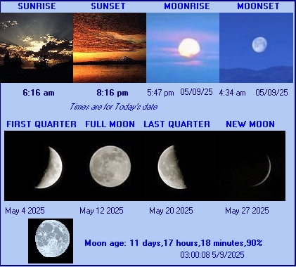
SUNRISE/SET:
Sun/Moon
Month
calendar
Wx
Stickers &
Wx
Rings
Click
Here
Presented
as a
public
service
by:
Wally
Mayo
N4BHM